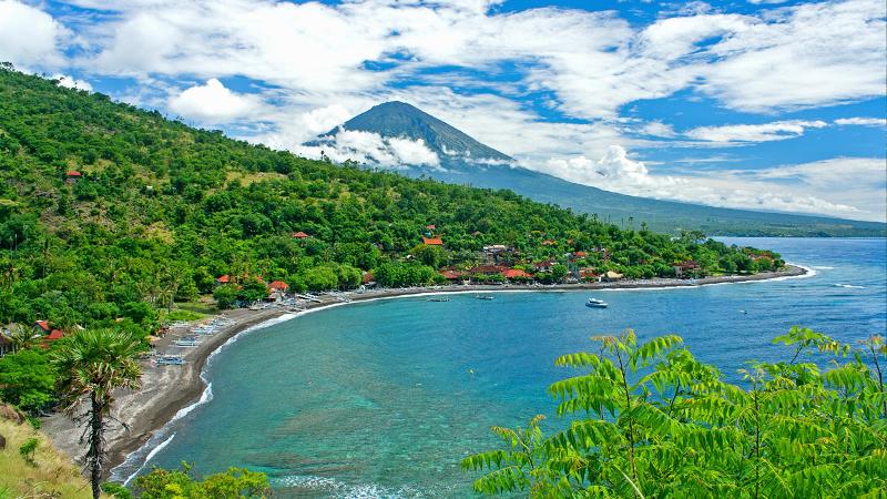
LATEST UPDATE ON MOUNT AGUNG – NOVEMBER 2017

LATEST UPDATE ON MOUNT AGUNG – NOVEMBER 2017
Bali island is still a safe holiday destination, except for areas around Mount Agung. Flights in and out of Ngurah Rai International airport remain normal with 50,000 to 60,000 travelers in and out of Bali every day.
The alert level of the Mount Agung in Bali has been lowered from level four “danger” to level three “alert” since Oct 29th 2017. According to the Center for volcanology and Geological Hazard Mitigation (PVMBG) the decision to downgrade the warning was based on the result of observation of activity of the volcano and which has been decreased considerably lately become 100-70 times tremors from 900-300 tremors per day.
Gede Suantika, from of the Volcano and Geological Disaster Mitigation division of the Ministry of Energy and Natural Resources, said on Friday, October 20, 2017: “the peak frequency of tremors occurred on September 22 and 23. Now, the frequency (of tremors) has diminished slightly.”
With this new alert level, the evacuation recommendation for a radius of 6 and 7.5 kilometers surrounding the volcano. So far, the tourism area in Bali are in safe distance, Mount Agung is 75 kilometers from the tourist hot spot of Kuta, 50 kilometers from Ubud and 25 kilometers from Candidasa.


